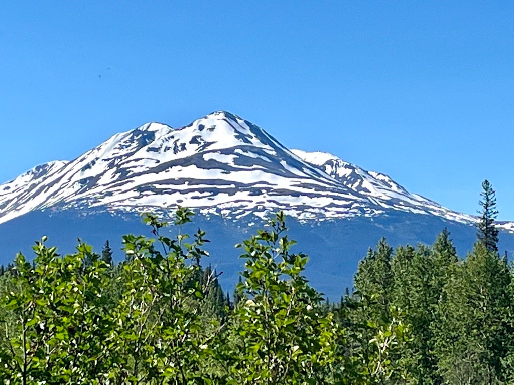
Sorry for the delay, but weak internet has slowed down updates from the far north. However, I now know that on Sunday June 18th, Jay, Charlie and Maxi were heading toward Meziadin Lake Provincial Park. Check out this snow-capped mountain off of Route 37:
Somewhere along the way, the guys decided they wanted to see a lava field (I think it might have been Nisga Memorial Lava Beds Provincial Park) so they took an innocent looking gravel road. You’ll see the effect on one of the tires in Monday’s photos! In the meantime, here are a couple of shots of Meziadin Lake and Stewart River:
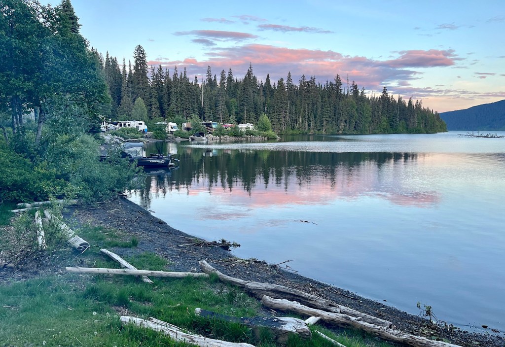


They arrived late at the campground, but of course it stays light very late this far north, so they had plenty of time to enjoy the lake view — and experience the mosquitos!
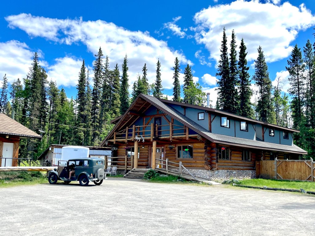
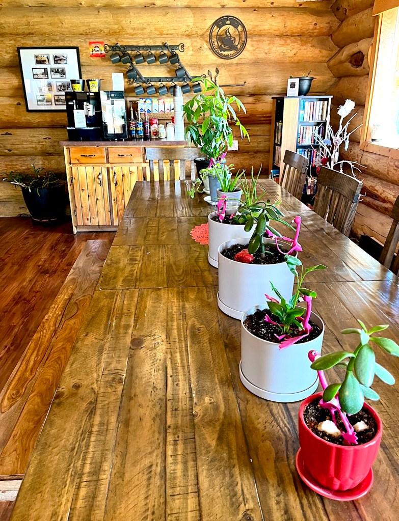
On Monday, June 19th they drove to the Arctic Divide Lodge in Dease Lake, which is a small community in the northern interior of British Columbia, about 20 kilometers south of the Yukon Border. As you can guess from the name of the lodge, this is part of the continental divide and a division point between river drainage to the Pacific Ocean via the Stikine, and to the Arctic Ocean, via the Liard and Mackensie Rivers.
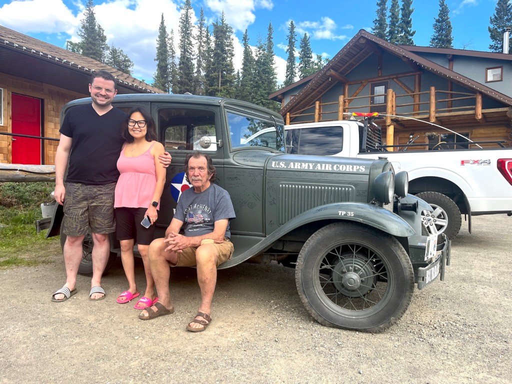
First task at Dease Lake — fixing another flat tire! Along the way, they are picking up tips on how to help the tires survive the grueling gravel they will find when they get to the Dempster Highway a little farther north.

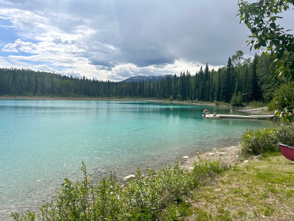
Check out the beauty here:


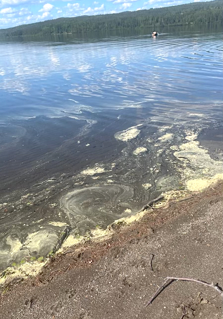
Now, if you’ve been lamenting the amount of pollen here, look at the pollen at the edge of the lake:
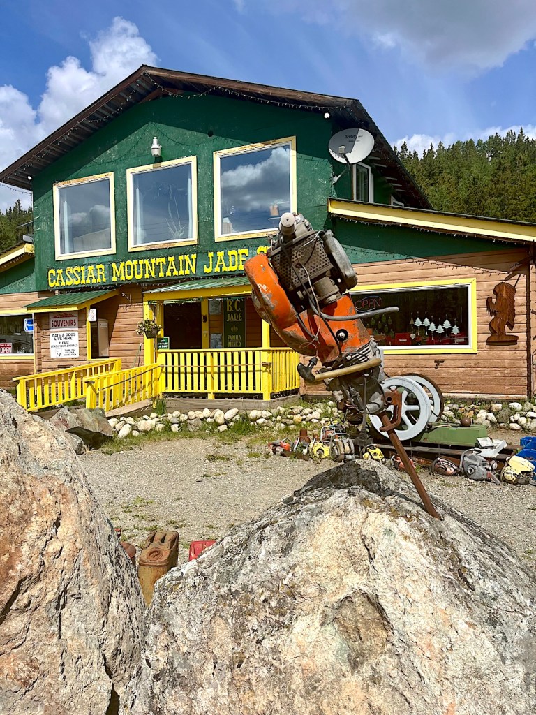
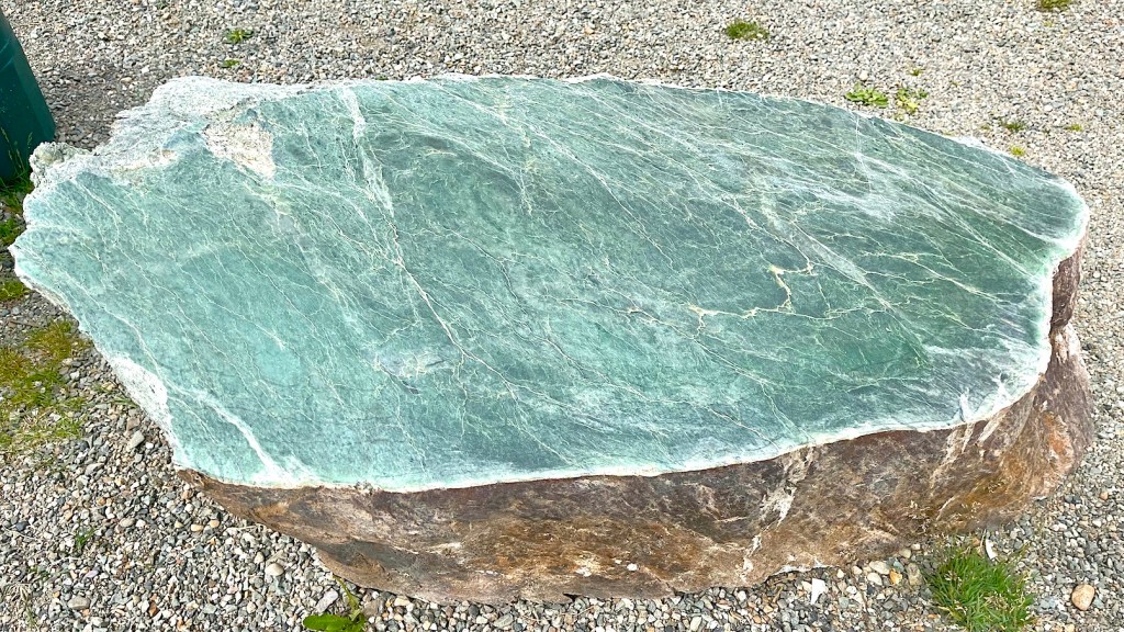
On Tuesday, June 20th, they were headed to Watson Lake, but they found Boyd Lake and Jade City half way there, late in the morning.


They did make it to Watson Lake, so they were officially in the Yukon now. Interesting factoid: Watson Lake is considered the coldest lake in the Yukon. (No, the guys did NOT check it out!)
They found a couple of interesting photo subjects, one I had read about and was fascinated to see photos of — Sign Post Forest!


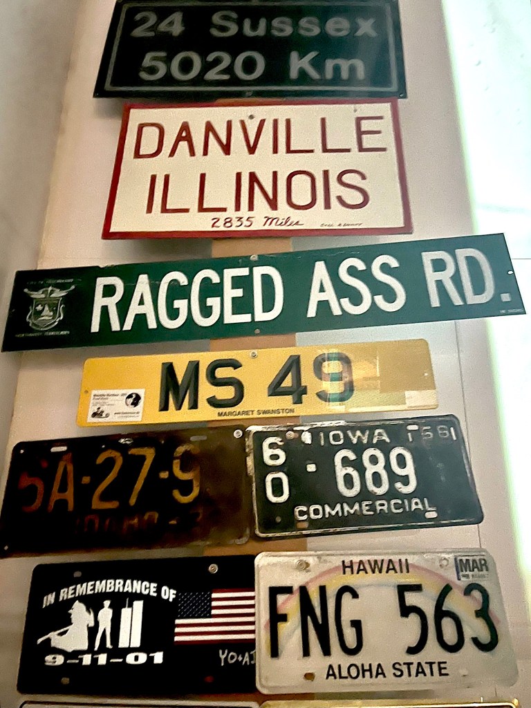
Over 100,000 signs — and counting! Reminds me of Bubble Gum Alley in San Luis Obispo, only more hygienic.
Then, there were what we’re calling the “gnome huts”:
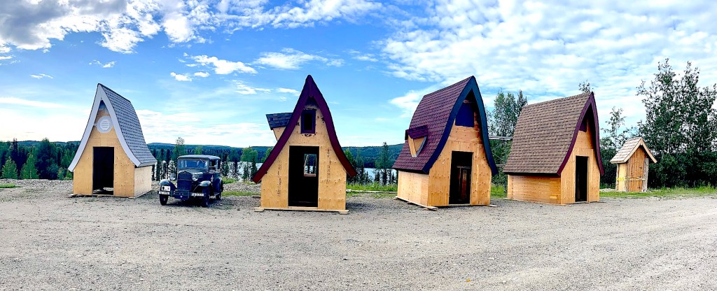

I guess they’re storage sheds, but doesn’t Maxi look cute snuggled in amongst them? This is two steps beyond our county’s “tiny houses”!
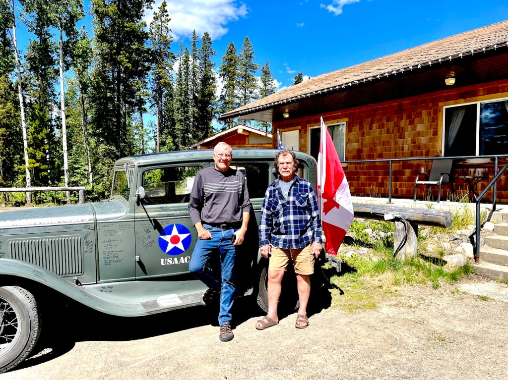
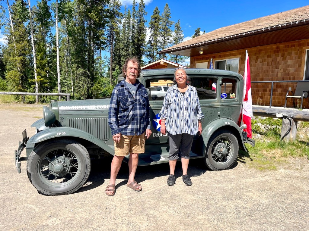
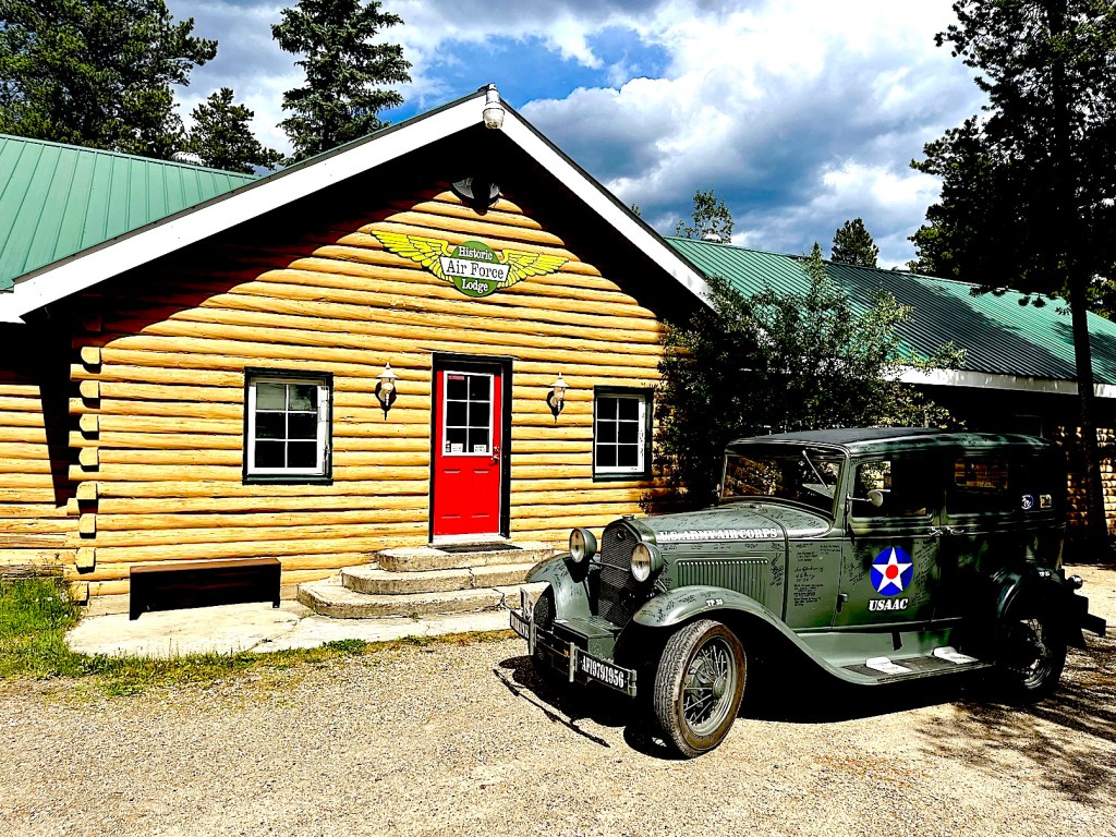
The hotel at Watson Lake was the historic Air Force Lodge. How appropriate!


The next post shouldn’t be too long coming… A bunch of photos just came in, so I’ll try to sort them out while the guys are driving through even more weak internet territory.

Thanks, Pat for your devoted posting to keep us all informed about this worthwhile drive by Jay and Charlie and Maxi.
LikeLike
Very good pictures and it appears to be a wonderful trip so far. Some of the wording beside the pictures was completely garbled, but that is ok. The pictures more than makeup for it. You know what they say, a picture is worth a thousand words.
LikeLike
You are doing an excellent job of keeping us informed of Jays journey. Looking forward to more. The scenery is breathtaking,
Thank you !
LikeLike
Some more amazing photos — the blue is so sharp – no doubt what color someone is looking at, Sorry about the tire — maybe still a bit hot by the volcano ? ? ?
Maxi is definitely appreciated by everyone wanting a photo to prove to others. THX Wilma
>
LikeLike
So glad to see they made it to Yukon. Once they reach their final Northern destination will they trailer Maxi back. Love all the pictures. Wishing them continued safe travels. Thanks Pat for your postings 👍👍
LikeLike
Good question, Pat! I can tell you (spoiler alert!) that Maxi made it all the way to Tuktoyaktuk and the Arctic Ocean. You’ll read about that soon. Time will tell how they will accomplish the return journey.
LikeLike